


141
AppendixNAVI/AV
current position. Setting the DVD Map Disc to
navigation automatically resets the route from
your current location to your destination.
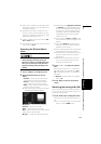
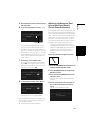
TRAFFIC icon during the
memory navi mode
• XM NavTraffic-related data for a “Zone” (e.g.,
Zone 1 contain ID, OR, WA) only can be memo-
rized. Therefore, if appears on the
screen when crossing a zone border, you will
need to insert the disc to use the XM NavTraffic
function. Touching allows you to
check the locations of the traffic information
along the route. However, you cannot perform
rerouting.
Operation outside the memo-
rized area
When the vehicle leaves the memorized area, the
functions will be limited.
• The auto reroute function does not work.
• You can only display a larger scale map. The
map display will automatically change to a
25 mi (or 50 mi) scale.
• The map matching function will not be avail-
able. Therefore, the position of your vehicle
may be misaligned.
• The navigation guidance will only be available
when arriving at your destination. Other guid-
ance is not possible (this includes no display of
direction arrows).
To cancel these limitations, insert the DVD Map
Disc to the navigation system.
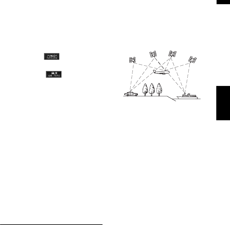
Positioning Technology
The navigation system accurately measures your
current location by combining the positioning by
GPS and by Dead Reckoning.
Positioning by GPS
The Global Positioning System (GPS) uses a net-
work of satellites orbiting the Earth. Each of the
satellites, which orbit at a height of 68 900 000
feet (21 000 km), continually broadcasts radio sig-
nals giving time and position information. This
ensures that signals from at least three can be
picked up from any open area on the ground’s
surface.
The accuracy of the GPS information depends on
how good the reception is. When the signals are
strong and reception is good, GPS can determine
latitude, longitude and altitude for accurate posi-
tioning in three dimensions. But if signal quality
is poor, only two dimensions, latitude and longi-
tude, can be obtained and positioning errors are
somewhat greater.
Positioning by dead reckoning
The 3D Hybrid Sensor in the navigation system
also calculates your position. The current loca-
tion is measured by detecting driving distance
with the speed pulse, the turning direction with
the Gyrosensor and inclination of the road with
the G sensor.
The 3D Hybrid Sensor can even calculate
changes of altitude, and corrects for discrepan-
cies in the distance traveled caused by driving
along winding roads or up slopes. Also, the navi-
gation system learns the driving conditions and
stores information in the memory. Thus, as you
drive more, the precision of the positioning
becomes more accurate.
The method of positioning changes as follows
depending on whether the speed pulse of your
vehicle is detected or not:
3D hybrid mode
This is active when the speed pulse is detected.
Inclination of a street can be detected.
Simple hybrid mode
When the speed pulse is not detected, position-
ing is performed in this mode. Only horizontal
movement is detected, so it becomes less accu-
rate. Also, when the positioning by GPS is not
available, such as when your vehicle enters a
long tunnel, the discrepancy between your actual
and calculated position may become bigger.