


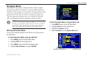
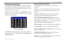
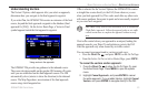
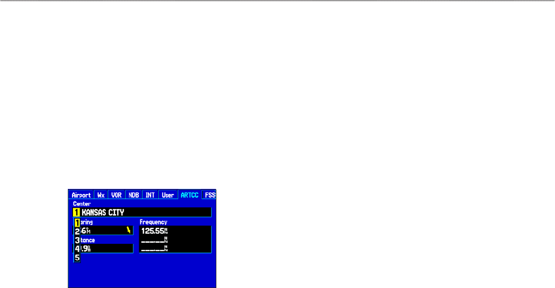
Viewing Communication Frequencies
The Nearest Pages list up to five nearest flight service station
(FSS) and air route traffic control center (ARTCC) points of
communication. The closest communication point is shown first,
with additional points available when selected. For duplex operation,
the corresponding VOR is listed (by identifier) and the transmit and
receive frequencies are denoted by a TX and RX respectively.
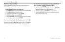
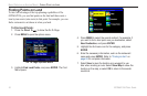
To view additional communication frequencies:
1. Press NEAREST to open the Nearest Pages.
2. Use the ROCKER to select the ARTCC or FSS sub tab.
3. Press the ROCKER down to highlight Center or Station
(based which tab you are on), and press ENTER.
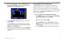
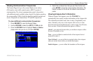
ARTCC Tab
4. Select the numbered item that you want from the list, and
press ENTER to show the communication information. The
lowest numbers on the list are the closest communication
points.
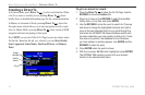
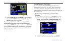
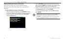
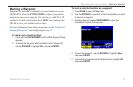
Viewing Airspace Alert Information
When an airspace alert appears, press the NEAREST to
automatically show nearby airspace information in the Airspace tab.
This information includes name, time to entry (if applicable), and
status. Normally, only one or two airspace alerts occur at a time,
but with sectorized controlled airspace, such as many Class B areas,
there are more. Status information can appear as follows:
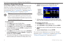
Ahead—your projected course takes you inside an airspace within
the next 10 minutes or less.
Near—you are within two nautical miles of an airspace but not
projected to enter it.
Near & Ahead
—you are within two nautical miles of an airspace
and your current course takes you inside the airspace.
Inside Airspace
—you are within the boundaries of the airspace.
GPSMAP 296 Pilot’s Guide 19
BASIC OPERATION IN AVIATION MODE > FINDING A NEARBY POINT