


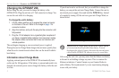
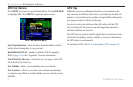
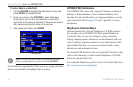
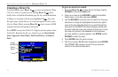
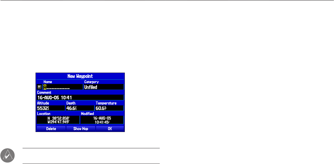
To enter data in a data field:
1. Use the ROCKER to highlight the data field you want, and
press ENTER to activate the field.
2. Press up or down on the ROCKER to select characters.
Press right to move to the next character or press left to
move back to the previous character. If there are two lines of
data, keep pressing right to drop to the next line.
3. After entering the data, press ENTER.
Entering data
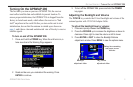
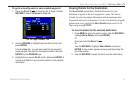
NOTE: To clear the entire data field, highlight the left-most
character field and press left once more on the ROCKER.
Not all fields are programmable. When you are on a page with fields
that are not selectable, the highlight skips over them.
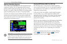
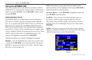
GPSMAP 296 Databases
Your GPSMAP 296 comes with a Jeppesen
®
database, an Obstacle
database, a Terrain database, a Voice Guidance database, and a
basemap. You also should update your Jeppesen database to use the
most current data. Refer to page 145 in the “Appendix” for more
information.
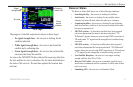
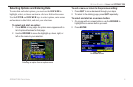
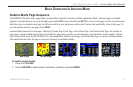
MapSource Detailed Maps
Optional Garmin Data Cards and MapSource CD-ROMs enhance
the versatility of your GPSMAP 296. With optional MapSource
City Select
®
data, you can view listings of nearby restaurants,
lodging, shopping centers, attractions, and entertainment, and even
retrieve addresses and phone numbers for any listed location. With
optional BlueChart data, you can access marine navaids, wrecks,
obstructions, and anchorage locations.
The included USB Interface Cable or an optional PC Interface Cable
(with a serial connector) is used to transfer MapSource CD-ROM
data to the optional Data Card.
For compatible MapSource products, refer to the Garmin Web site at
http://www.garmin.com/cartography/
10 GPSMAP 296 Pilot’s Guide
GETTING STARTED > USING THE GPSMAP 296