


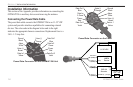
Map Datums and Location Formats
Map Datums are based on a mathematical model of the Earth.
What are Map Datums?
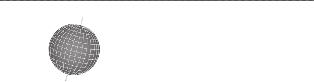
A datum is a mathematical model of the Earth that approximates
the shape of the Earth and enables calculations to be carried out in a
consistent and accurate manner. The datum is physically represented
by a framework of ground monuments (such as trig. stations) whose
locations have been accurately measured and calculated on this
reference surface. Lines of latitude and longitude on a map or chart
are referenced to a specific map datum. Every chart has a map datum
reference and the GPSMAP 296 can be set to match most of those
commonly used.
If you are navigating and comparing the GPS coordinates to a map,
chart, or other reference, the map datum in the GPS unit should
be set to the same datum as the map to ensure the most accurate
navigation.
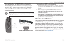
What is a Location Format?
Your current location can be viewed on the GPS in the form of
coordinates. Since different maps and charts use different location
formats, Garmin GPS units allow you to choose the correct
coordinate system for the type of map you are using. The most
common format is latitude and longitude, which is used by all
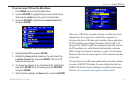
Garmin units. You can change the location format to use with other
coordinate systems in Location Preferences. UTM/UPS (Universal
Transverse Mercator/Universal Polar Stereographic) are easy-to-use
metric grids that are found on most USGS topographic quadrangle
maps. Several other grids, including a user-definable grid (for the
advanced user), are available.
For more information about using paper maps with your Garmin
unit, refer to Using a Garmin GPS with Paper Land Maps, available
for download at http://www.garmin.com/manuals/UsingaGarminGP
SwithPaperLandMaps_Manual.pdf.
142 GPSMAP 296 Pilot’s Guide
APPENDIX > MAP DATUMS AND LOCATION FORMATS