


26 GPSMAP 400/500 Series Owner’s Manual
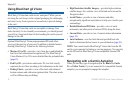
Where To?
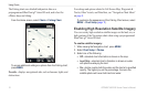
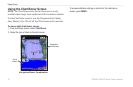
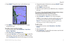
To view waypoint information on the Navigation chart:
1. From the Navigation chart, use the map pointer ( ) to highlight
the waypoint on the Navigation chart and press SELECT.
2. Select an option.
Select Review or the name of the waypoint to view details of
objects in the vicinity of the cursor. (The Review button is only
shown when more than one waypoint is in the vicinity.)
Select Navigate To to navigate to the selected location.
Select Create Waypoint to mark a waypoint at the cursor
location.
Select Information to view tide (page 37), current (page 38),
celestial (page 38), chart notes, or local services information
near the cursor.
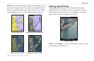
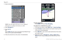
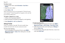
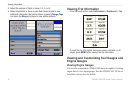
To measure the distance and bearing of an object from your
current location:
1. From the Navigation chart, use the map pointer ( ) to highlight
the object on the Navigation chart and press SELECT >
Measure Distance. The measurement information appears in
the lower-right corner of the screen. Use the Rocker to move
the pointer and measure the distance to other locations. Select
MENU > Stop Measuring to remove the measuring line.
•
•
•
•
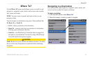
To view and sort or lter a list of all waypoints:
From the Home screen, select Information > User Data >
Waypoints > Options. You can then sort the list by name, by
symbol, or by distance from your current location. You can also
lter the list by name or symbol.
To delete a waypoint or an MOB:
1. From the Navigation chart, use the map pointer ( ) to highlight
the waypoint or the MOB on the Navigation chart.
OR
From the Home screen, select Information > User Data >
Waypoints.
2. Select the waypoint or the MOB you want to delete.
3. Select Review > Delete (The Review button is only shown when
more than one waypoint is in the vicinity.)
Creating and Using Routes
You can create and store up to 100 routes, with up to 250 waypoints
each.
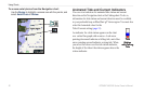
To create a route from your present location:
1. From the Navigation chart, use the map pointer ( ) to select
your destination.
2. Select Navigate To > Route To.
3. Use the map pointer ( ) to select the location at which you
want to make the last turn toward your destination.