


GPSMAP 400/500 Series Owner’s Manual 19
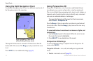
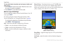
Using Charts
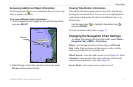
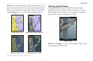
NOTE: When enabled, the high-resolution satellite images are only
present at lower zoom levels. If you cannot see the high-resolution
images in your BlueChart g2 Vision region, either zoom in further
using the Range (+) key, or set the detail level higher (page 12).
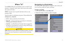
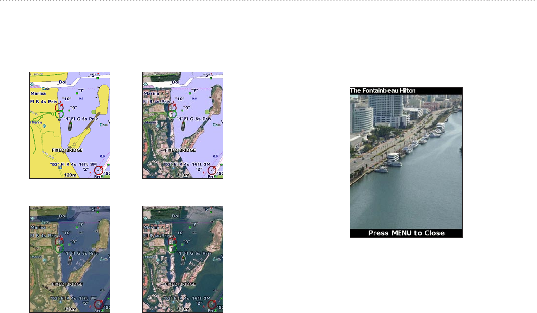
Photo Overlay Off Land Only Photo Overlay
Photo Overlay at 50% Photo Overlay at 100%
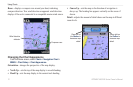
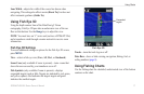
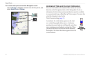
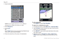
Viewing Aerial Photos
Preprogrammed BlueChart g2 Vision SD cards contain aerial
photographs of many landmarks, marinas, and harbors. Use these
photos to help orient yourself to your surroundings or to acquaint
yourself with a marina or a harbor prior to arrival.
Aerial Photo
NOTE: Use the Range (-/+) keys to zoom in and out while viewing
the aerial photo on the full screen.