


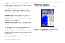
GPSMAP 400/500 Series Owner’s Manual 11
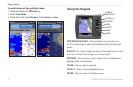
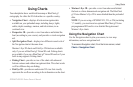
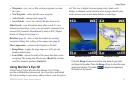
Using Charts
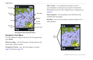
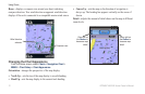
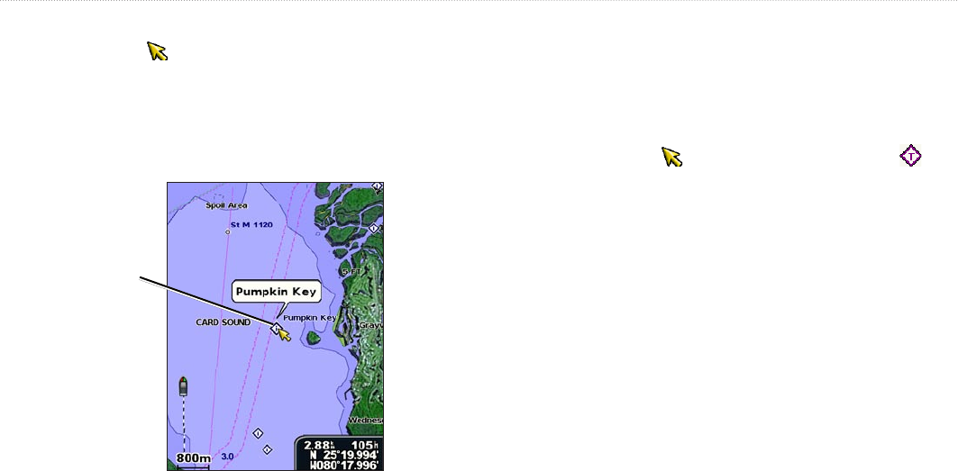
Accessing Additional Object Information
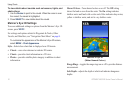
Use the map pointer ( ) to view information about on-screen map
items, waypoints, and charts.
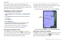
To access additional object information:
1. On the Navigation chart, highlight an item with the map pointer,
and press SELECT.
Selected
item
2. Select the item. If more than one item is in the area, select
Review, and then select the item.
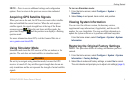
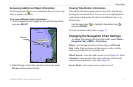
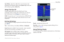
Viewing Tide-Station Information
Tide-station information appears on the chart with a detailed icon
showing the relevant tide level. You can view an in-depth graph for
a tide station to help predict the tide level at different times or on
different days.
Use the map pointer ( ) to highlight a tide-station icon ( ),
and press SELECT.
For more information about tides, see page 37.
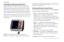
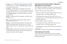
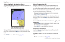
Changing the Navigation Chart Settings
To change chart settings from the home screen, select Charts >
Navigation Chart > MENU > Chart Setup.
Photos—sets the high-resolution satellite images to Off, Land
Only, or On. High-resolution satellite imagery is only available
while using a BlueChart g2 Vision SD card.
Tides/Currents—turns tides and currents on or off (page 36). Select
Animated to show animated tide station indicators and animated
current direction indicators on the chart (page 20).
Service Points—turns marine service points on or off.