


GPSMAP 400/500 Series Owner’s Manual 15
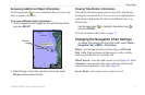
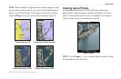
Using Charts
Waypoints—view, sort, or lter existing waypoints, or create
new ones.
New Waypoint
—create and edit a new waypoint.
Active Tracks
—manage tracks (page 28).
Saved Tracks—view a list of tracks that have been saved.
Other Vessels—view information about other vessels. To view
information about other vessels, your unit must be connected to an
external AIS (Automatic Identication System) or DSC (Digital
Selective Calling) device (page 61).
Data Bars
(page 8)—show or hide the numbers for cruising,
navigation, shing, fuel, sailing, or the compass tape (page 9).
Chart Appearance
—customize the Perspective 3D chart.
Range Rings—toggles the range rings on or off to provide
distance measurement.
Lane Width
—adjusts the width of the course line drawn when
navigating. This setting also affects routes (Route To), but does
not affect automatic guidance (Guide To).
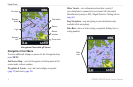
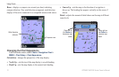
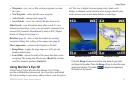
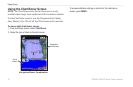
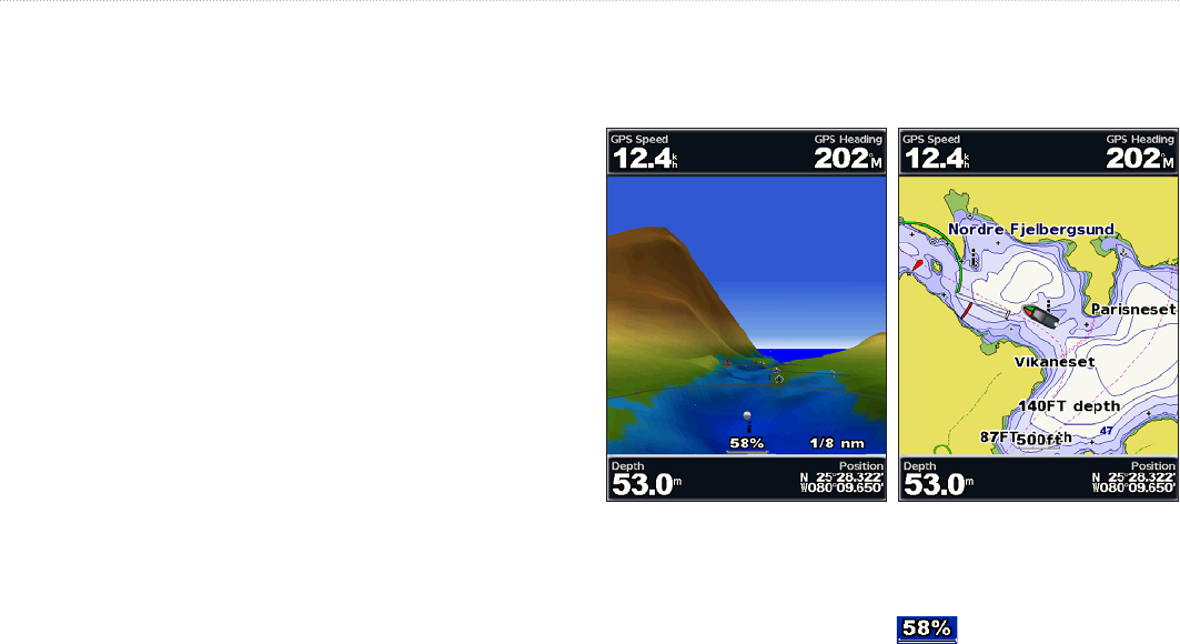
Using Mariner’s Eye 3D
A BlueChart g2 Vision SD card offers Mariner’s Eye 3D that
provides a detailed three-dimensional view from above and behind
the boat (according to your course), and provides a visual navigation
•
•
•
•
•
•
aid. This view is helpful when navigating tricky shoals, reefs,
bridges, or channels, and is benecial when trying to identify entry
routes and exit routes in unfamiliar harbors or anchorages.
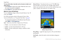
Mariner's Eye 3D Navigation Chart
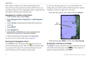
Press the Range (+) key to move the view closer to your boat
and lower to the water. Press the Range (-) key to move the view
away from the boat. The scale ( ) temporarily appears at
the bottom of the screen.