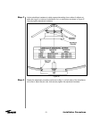
Step 1
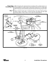
Step 2
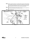
Step 3
Step 4
Step 5
Step 6
55
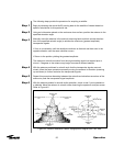
The following steps provide the procedure for acquiring a satellite.
Begin by obtaining the correct Az/El pointing data for the satellite of interest based on
specific calculations for this particular site.
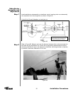
Using an inclinometer placed on the enclosure drum surface, position the antenna to the
specified elevation angle.
Manually move the antenna in the azimuth (scanning back-and-forth around the direc-
tion of the specified azimuth angle) to achieve the maximum (greatest amplitude)
transponder signals.
• Scan in one direction until the amplitude continues to diminish and then scan in the
opposite direction until the same condition occurs.
• Return to the position yielding the greatest amplitude.
The maximum azimuth excursion from the original setting should not exceed plus or
minus 1.5 degrees or the antenna may begin to access a different satellite.
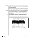
With the antenna positioned in azimuth such that the transponder signals are maxi-
mized, follow the same procedure manually moving the antenna in elevation (scanning
up-and-down) to further maximize the transponder signals.
Repeat this procedure alternating between the azimuth and elevation excursions of the
antenna to peak the transponder signal amplitude.
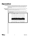
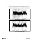
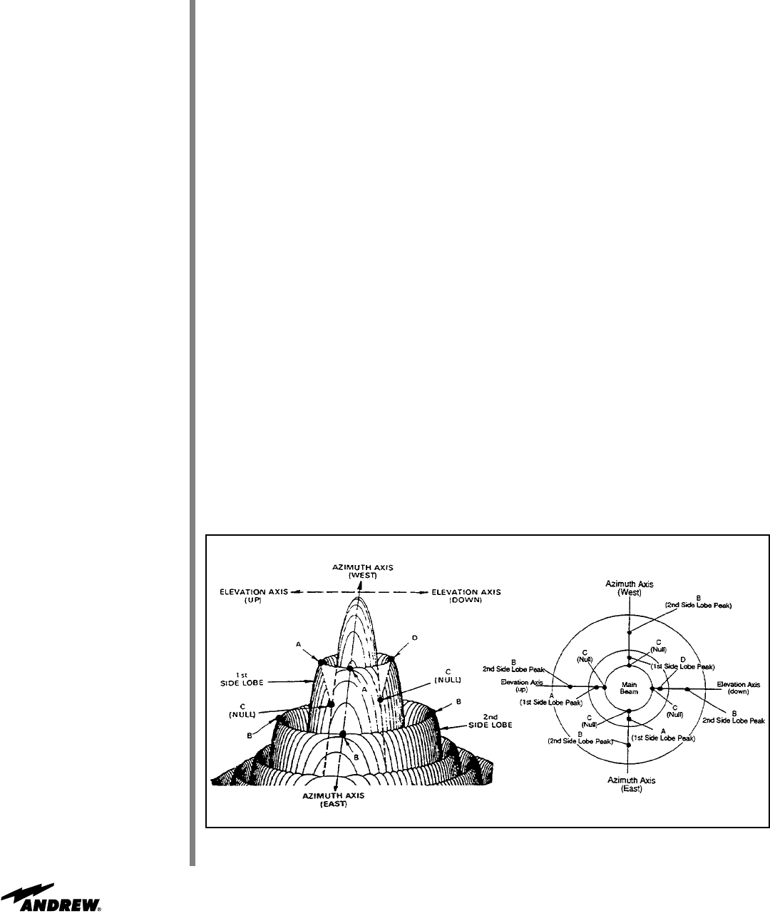
With the antenna peaked in azimuth and/or elevation, check to see if you’re peaked on
a sidelobe. Move the antenna in azimuth while observing the spectrum analyzer screen.
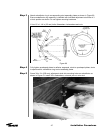
Refer to Figure 4-2.
Figure 4-2: Antenna Radiation Pattern Topographical Diagram with Plan View
Operation


