


GPSMAP 400/500 Series Owner’s Manual 17
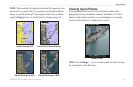
Using Charts
Lane Width—adjusts the width of the course line drawn when
navigating. This setting also affects routes (Route To), but does not
affect automatic guidance (Guide To).
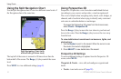
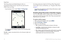
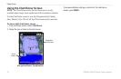
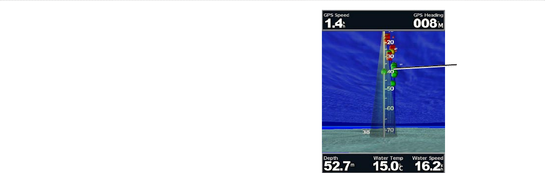
Using Fish Eye 3D
Using the depth contour lines of the BlueChart g2 Vision
cartography, Fish Eye 3D provides an underwater view of the sea
oor or lake bottom. Use the Range keys to adjust the view.
NOTE
: You must have an “s” series unit (such as a GPSMAP 526s)
and a transducer wired through a marine network to receive sonar
information.
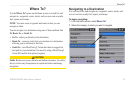
Fish Eye 3D Settings
To access additional settings or options for the Fish Eye 3D screen,
press MENU.
View—selects a sh eye view (Fore, Aft, Port, or Starboard).
Sonar Cone (only available if sonar is present)—turns a cone that
shows the area covered by your transducer on or off.
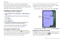
Fish Symbols
(only available if sonar is present)—displays
suspended targets (such as sh). Targets are indicated by red, green,
and yellow spheres. Red indicates the largest targets and green
indicates the smallest targets.
Suspended
targets
Fish Eye 3D
Tracks—turns the track log on or off.
Data Bars
—show or hide cruising, navigation, shing, fuel, or
sailing numbers (page 8).
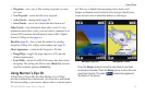
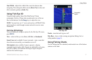
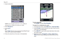
Using Fishing Charts
Use the Fishing chart for a detailed, unobstructed view of the bottom
contours on the chart.